Stewardship Plan

The York River Watershed Stewardship Plan was developed in 2018 as part of the York River Wild and Scenic Study. It characterizes the river and its watershed and it coalesces information from many state and local plans and assessments, plus extensive community input. It includes recommendations to preserve the watershed’s natural resources, water quality, cultural and historic resources, working waterfront, recreational resources, and other river values.
There’s an accompanying “Story Map” – or online tour – that provides highlights, maps and data from the Stewardship Plan. The Story Map was developed by Wells Reserve with funding from the York Community Initiatives Fund of the Maine Community Foundation.
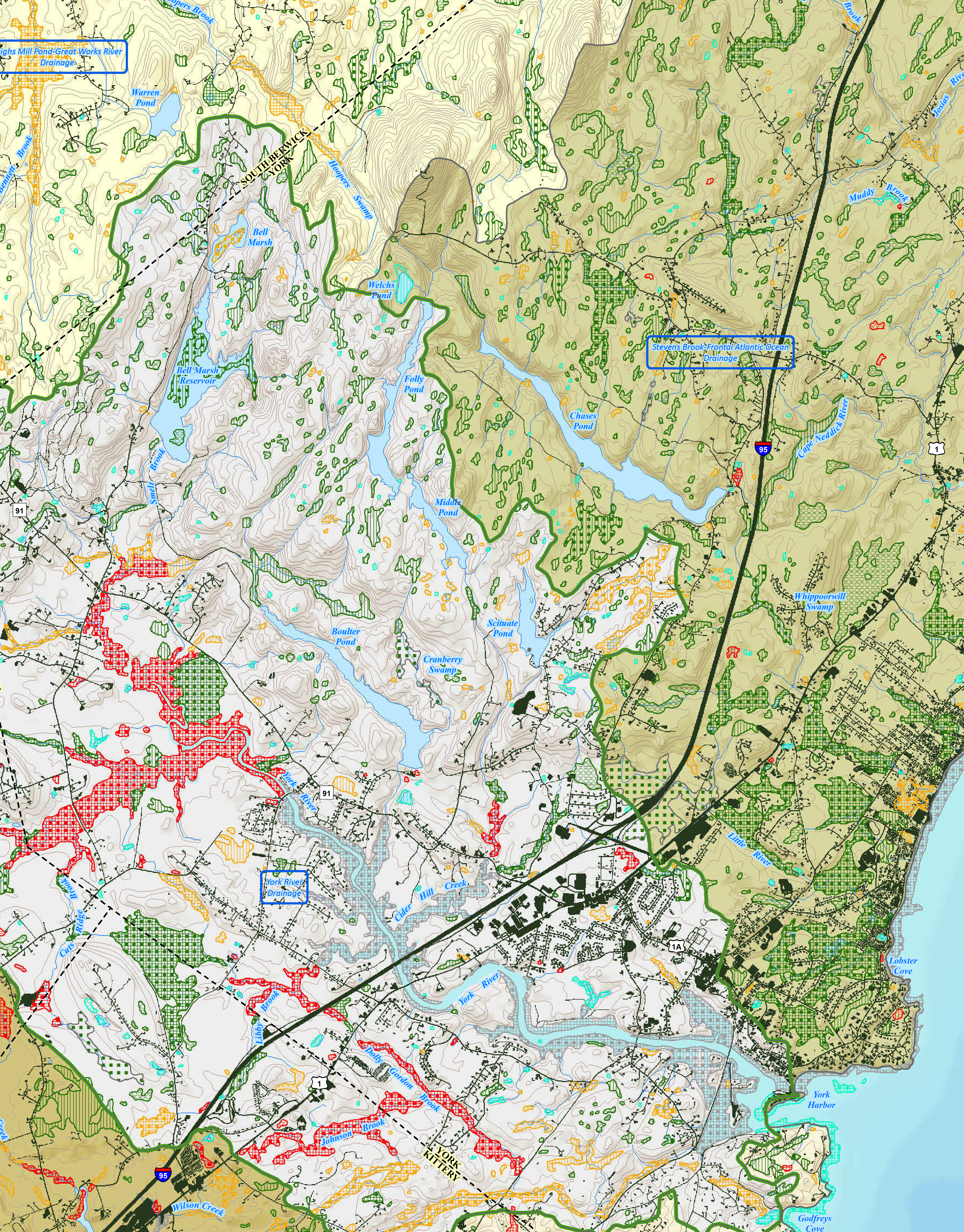
Maps provided by Bill Hancock, Maine Department of Inland Fisheries and Wildlife, Beginning with Habitat Program, in November 2017 that are referenced in the Stewardship Plan (page 54):

Separate volumes that accompany the Stewardship Plan:
- Aman, Jacob. (2018) An Assessment of Spring Fish Communities in the York River, Maine. Report to the York River Study Committee. Wells National Estuarine Research Reserve, Wells, Maine.
- Hudgell, Gemma-Jayne, Stephen R. Scharoun, Robert N. Bartone, and Ellen R. Cowie. (2017)
Archaeological Survey of the York River Headwaters: A Community Approach for Identification and Management. Prepared for the York River Study Committee. Northeast Archaeology Research Center, Inc., Farmington, Maine. - Mallory, Steven and Scott Stevens. (2017) Architectural Survey of the Upper York River. Prepared for the York River Study Committee. Groundroot Preservation Group, LLC, Cape Neddick, Maine.
- Southern Maine Planning and Development Commission. (2018) York River Watershed Study: Regulatory and Non-regulatory Recommendations Report. Prepared for the York River Study Committee, York, Maine.
- Spatial Alternatives, Inc., and Southern Maine Planning and Development Commission. (2018) York Watershed Build Out Scenarios. Prepared for the York River Study Committee, York, Maine.